


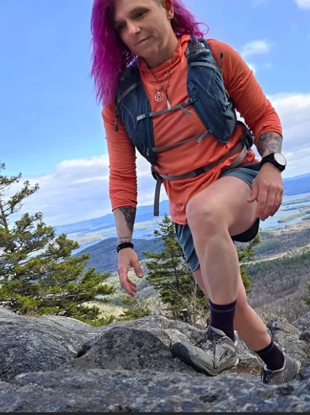
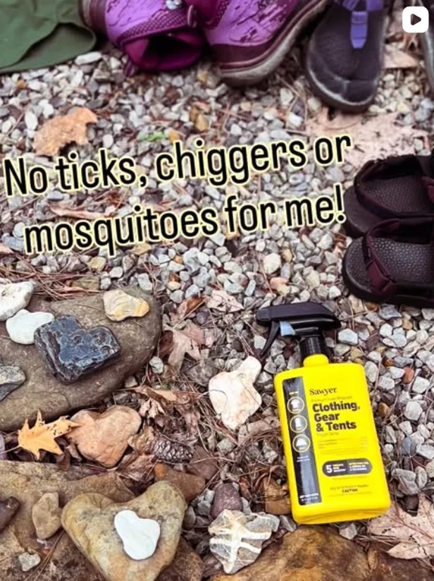
Follow us on Instagram
More Than an Outdoor Company.
@sawyerproducts
Follow us on Instagram


The San Diego Trans County Trail connects the Salton Sea to the Pacific Ocean via a series of trails and roads, including the California Riding and ...
Watch videoDistance: ~155 miles
Days: 10 to 14 days
Elevation gain: ~20,000 feet
Best season: Winter
Low Point/High Point: -226 feet (Salton Sea) and ~4900 feet (Lake Cuyamaca area)
Permits: None required. Pre-arranged permission may be required for some routes and camping sites.
Difficulty: Physically strenuous
Navigation: Difficult
Disclaimer: This guide is not enough for a hiker to safely travel this trail. Learn the risks, invest in education, practice safe decision-making, and take courses prior to partaking in risky activities.
The San Diego Trans County Trail, aka the Sea to Sea Trail or the TCT, is an ~155-mile hiking and backpacking route from the eastern boundary of San Diego County near the Salton Sea to the western edge of the county at the Pacific Ocean. The route connects Anza Borrego Desert State Park and Wilderness in the Colorado Desert to the world-famous Torrey Pines Natural Preserve. I’ve thru-hiked this trail twice, and this guide is based on my experience on both trips.
San Diego County is the most biologically rich county in the continental US. This east-to-west hike goes through at least 10 different ecosystems, including sandy desert washes, slot canyons, oak canyons, open meadows, pine-covered mountains, chaparral and riparian forest, urban canyons, estuary lagoons, coastal scrub, and sandy beaches.
“You’d be hard-pressed to find 150 miles of trail anywhere else in the United States that packs in so many different trail experiences in one. ”
Similarly, the San Diego Trans County Trail thru-hike also gives you a taste of many types of hiking trails–from well-marked singletrack trails to bushwhacking to road walking to well-marked urban paths.
The eastern part of the San Diego Trans County Trail visits areas that are ancestral homes to bands of the Cahuilla people, also known as ʔívil̃uqaletem or Ivilyuqaletem. The western part of the trail is the ancestral home to groups of the Kumeyaay people. Descendants and members of both groups are still active in San Diego and surrounding counties. The trail crosses Native American Reservations of the Iñaja and Cosmit and near reservations of other groups. It’s essential to be respectful of private property while traveling in this areas.
Today, many current Cahuilla and Kumeyaay tribes and groups continue to value, visit, and practice ceremonies and traditions along the route. Many groups have hundreds or even thousands of years of relationships with the land you’ll be walking. This article from Outside explains why hikers should pay attention to this history and how to be better land stewards. You can learn more about the Kumeyaay from this website operated by the Viejas Band of the Kumeyaay.
If you are interested in learning more about the San Diego Trans County Trail and tops for hiking it, finish reading the complete guide written by Liz Thomas here.


Distance: ~155 miles
Days: 10 to 14 days
Elevation gain: ~20,000 feet
Best season: Winter
Low Point/High Point: -226 feet (Salton Sea) and ~4900 feet (Lake Cuyamaca area)
Permits: None required. Pre-arranged permission may be required for some routes and camping sites.
Difficulty: Physically strenuous
Navigation: Difficult
Disclaimer: This guide is not enough for a hiker to safely travel this trail. Learn the risks, invest in education, practice safe decision-making, and take courses prior to partaking in risky activities.
The San Diego Trans County Trail, aka the Sea to Sea Trail or the TCT, is an ~155-mile hiking and backpacking route from the eastern boundary of San Diego County near the Salton Sea to the western edge of the county at the Pacific Ocean. The route connects Anza Borrego Desert State Park and Wilderness in the Colorado Desert to the world-famous Torrey Pines Natural Preserve. I’ve thru-hiked this trail twice, and this guide is based on my experience on both trips.
San Diego County is the most biologically rich county in the continental US. This east-to-west hike goes through at least 10 different ecosystems, including sandy desert washes, slot canyons, oak canyons, open meadows, pine-covered mountains, chaparral and riparian forest, urban canyons, estuary lagoons, coastal scrub, and sandy beaches.
“You’d be hard-pressed to find 150 miles of trail anywhere else in the United States that packs in so many different trail experiences in one. ”
Similarly, the San Diego Trans County Trail thru-hike also gives you a taste of many types of hiking trails–from well-marked singletrack trails to bushwhacking to road walking to well-marked urban paths.
The eastern part of the San Diego Trans County Trail visits areas that are ancestral homes to bands of the Cahuilla people, also known as ʔívil̃uqaletem or Ivilyuqaletem. The western part of the trail is the ancestral home to groups of the Kumeyaay people. Descendants and members of both groups are still active in San Diego and surrounding counties. The trail crosses Native American Reservations of the Iñaja and Cosmit and near reservations of other groups. It’s essential to be respectful of private property while traveling in this areas.
Today, many current Cahuilla and Kumeyaay tribes and groups continue to value, visit, and practice ceremonies and traditions along the route. Many groups have hundreds or even thousands of years of relationships with the land you’ll be walking. This article from Outside explains why hikers should pay attention to this history and how to be better land stewards. You can learn more about the Kumeyaay from this website operated by the Viejas Band of the Kumeyaay.
If you are interested in learning more about the San Diego Trans County Trail and tops for hiking it, finish reading the complete guide written by Liz Thomas here.
More Than an Outdoor Company.