


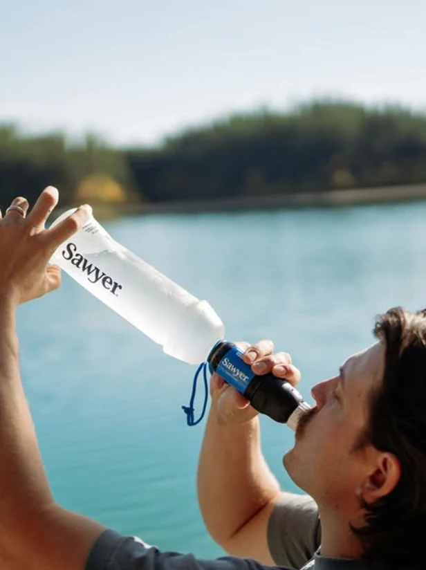
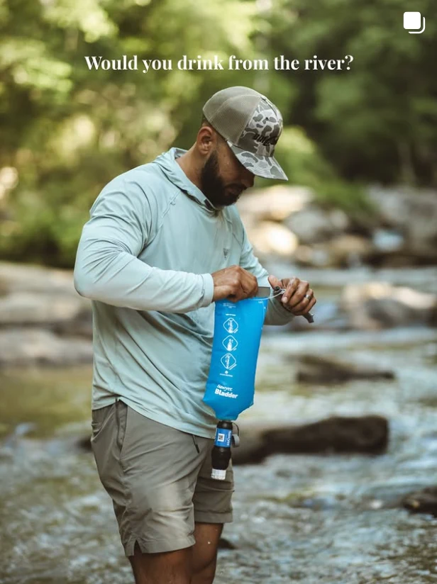
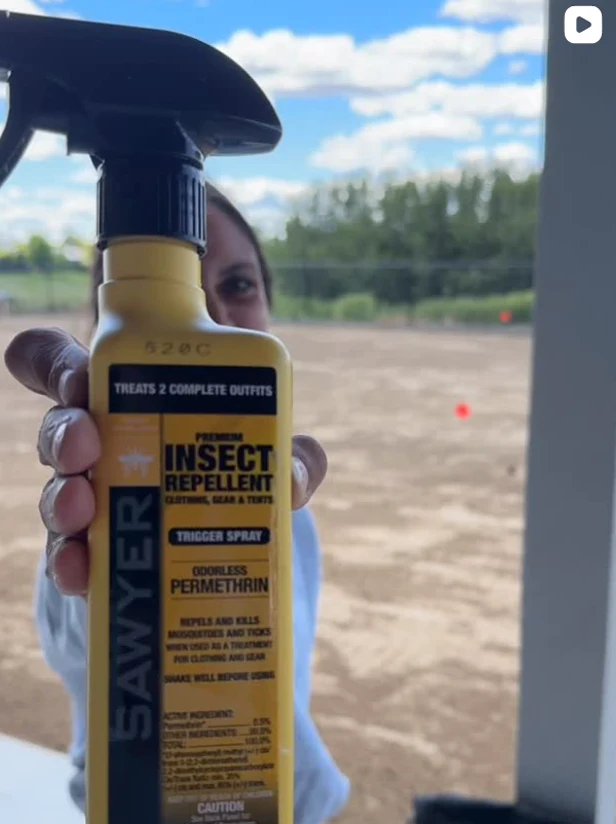
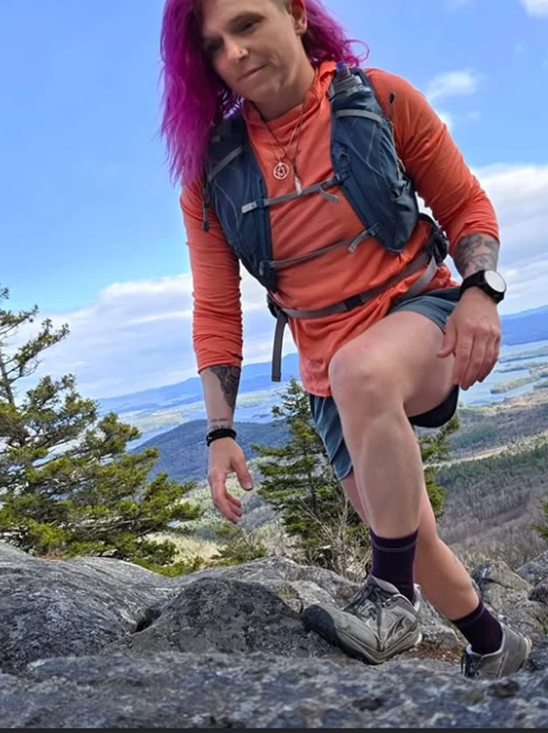
Follow us on Instagram
More Than an Outdoor Company.
@sawyerproducts
Follow us on Instagram


Use this knowledge to make informed decisions about your safety in the backcountry and the future of your adventure when facing smokey trails.
Watch videoThe frequency and magnitude of natural disasters the world faces is worsening with every year. In the past, you’d have to go west to find a group of hikers discussing air quality, but in 2023 on the Appalachian Trail the ATC urged hikers to remain indoors and “consider postponing their trips until air quality improves.” The challenge of hiking through smoke or areas with poor air quality can happen anywhere, and it’s important you have some knowledge and resources in your pocket just in case.

Whether you’re sitting in town or cooped up in your tent, it’s important to have access to the most up-to-date information possible. AirNow is one place to access the current and projected Air Quality Index (AQI) of your location. The same site offers a Fire and Smoke Tracker so you can get a fuller idea of what’s going on in your neck of the woods. Use these and the additional resources below to make safe, informed decisions about the future of your hike. Remember: your life is more important than a continuous footpath!

The first principle of Leave No Trace is Plan Ahead and Prepare for a reason. It’s better to have a backup plan and not need it than winging it in the middle of a stressful situation, so collect the number of a local shuttle driver and make arrangements for a bail-out point if things start… going up in smoke.

If you make the informed decision to hike on, there’s no guarantee the trail will be smoke-free. It’s important to check on how the air quality is changing as you hike. Cell service doesn’t always extend where our adventures take us, so you’ll be thankful you brushed up on some benchmarks for assessing smoke levels in the field. The rules of thumb are if you can see an object in daylight hours more than 10 miles away the air quality is “good”, but if you have trouble seeing objects less than 5 miles away it is “unhealthy” and probably time to switch to Plan B. In between, you’ll have to use your best judgment and pay close attention to your body.

It’s always important to listen to your body on a thru-hike, but this is especially true while spending any amount of time on a smoky trail. Inhaling the fine particles in wildfire smoke can cause a range of reactions including a runny nose, watery eyes, or a sore throat. More extreme reactions include chest pain, coughing, and trouble breathing. If you’re someone with a preexisting condition or are particularly sensitive to smoke, use extra caution. Remember: Plan B is there for a reason.
The effects of climate change are unavoidable, and we’ll have to continue to adapt and learn both as a community and as individuals to stay safe on our outdoor adventures in the face of a changing planet. Use this knowledge to make informed decisions about your safety in the backcountry and the future of your adventure when facing smokey trails. Remember: your life is more important than a continuous footpath!

AirNow - Air Quality Index Tracker or Fire and Smoke Tracker
Washington Trails - Hiker Finder Map or Trailblazer Mobile App
Pacific Crest Trail Association - PCT Closures


The frequency and magnitude of natural disasters the world faces is worsening with every year. In the past, you’d have to go west to find a group of hikers discussing air quality, but in 2023 on the Appalachian Trail the ATC urged hikers to remain indoors and “consider postponing their trips until air quality improves.” The challenge of hiking through smoke or areas with poor air quality can happen anywhere, and it’s important you have some knowledge and resources in your pocket just in case.
Whether you’re sitting in town or cooped up in your tent, it’s important to have access to the most up-to-date information possible. AirNow is one place to access the current and projected Air Quality Index (AQI) of your location. The same site offers a Fire and Smoke Tracker so you can get a fuller idea of what’s going on in your neck of the woods. Use these and the additional resources below to make safe, informed decisions about the future of your hike. Remember: your life is more important than a continuous footpath!
The first principle of Leave No Trace is Plan Ahead and Prepare for a reason. It’s better to have a backup plan and not need it than winging it in the middle of a stressful situation, so collect the number of a local shuttle driver and make arrangements for a bail-out point if things start… going up in smoke.
If you make the informed decision to hike on, there’s no guarantee the trail will be smoke-free. It’s important to check on how the air quality is changing as you hike. Cell service doesn’t always extend where our adventures take us, so you’ll be thankful you brushed up on some benchmarks for assessing smoke levels in the field. The rules of thumb are if you can see an object in daylight hours more than 10 miles away the air quality is “good”, but if you have trouble seeing objects less than 5 miles away it is “unhealthy” and probably time to switch to Plan B. In between, you’ll have to use your best judgment and pay close attention to your body.
It’s always important to listen to your body on a thru-hike, but this is especially true while spending any amount of time on a smoky trail. Inhaling the fine particles in wildfire smoke can cause a range of reactions including a runny nose, watery eyes, or a sore throat. More extreme reactions include chest pain, coughing, and trouble breathing. If you’re someone with a preexisting condition or are particularly sensitive to smoke, use extra caution. Remember: Plan B is there for a reason.
The effects of climate change are unavoidable, and we’ll have to continue to adapt and learn both as a community and as individuals to stay safe on our outdoor adventures in the face of a changing planet. Use this knowledge to make informed decisions about your safety in the backcountry and the future of your adventure when facing smokey trails. Remember: your life is more important than a continuous footpath!
AirNow - Air Quality Index Tracker or Fire and Smoke Tracker
Washington Trails - Hiker Finder Map or Trailblazer Mobile App
Pacific Crest Trail Association - PCT Closures
More Than an Outdoor Company.