


Follow us on Instagram
More Than an Outdoor Company.
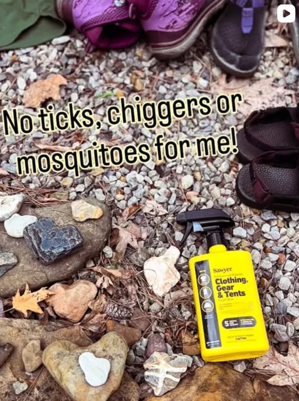
@sawyerproducts
Follow us on Instagram


Quick facts and highlights in a short guide to Vermont's long trail
Watch videoThe Long Trail (LT) was the first long distance trail ever established in America, and it’s also one of the most rugged with steep ascents and long spells of wet weather. The LT traverses the entire state of Vermont - from the border of Massachusetts to the border of Canada - and hits many of the major peaks in the state.
Every year hundreds of hikers set out to complete an end-to-end hike on this trail, and they’re rewarded with sweeping views of the Green Mountains and White Mountains of New Hampshire, spectacular fall foliage in the later months, and a journey they’ll surely never forget. In this guide, we’ll outline everything you need to know to have a successful hike on the Long Trail.
Have you completed an LT end-to-end hike or are you planning to go for it? Let us know in the comments below!
Interested in reading Dave and Annie's entire guide to Vermont's long trail? Head here.


The Long Trail (LT) was the first long distance trail ever established in America, and it’s also one of the most rugged with steep ascents and long spells of wet weather. The LT traverses the entire state of Vermont - from the border of Massachusetts to the border of Canada - and hits many of the major peaks in the state.
Every year hundreds of hikers set out to complete an end-to-end hike on this trail, and they’re rewarded with sweeping views of the Green Mountains and White Mountains of New Hampshire, spectacular fall foliage in the later months, and a journey they’ll surely never forget. In this guide, we’ll outline everything you need to know to have a successful hike on the Long Trail.
Have you completed an LT end-to-end hike or are you planning to go for it? Let us know in the comments below!
Interested in reading Dave and Annie's entire guide to Vermont's long trail? Head here.
More Than an Outdoor Company.