


Follow us on Instagram
More Than an Outdoor Company.
@sawyerproducts
Follow us on Instagram


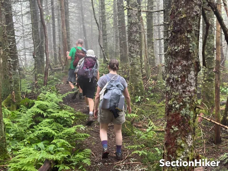
The Colorado Trail (CT) stretches across the Rocky Mountain Range from Denver to Durango. It takes you through some of the country’s highest elevations, most stunning scenery, and most temperamental weather.
From the flower-filled alpine meadows of the Sawatch Mountains to the dramatic craggy peaks of the San Juans, a hike on the CT is sure to be a journey full of challenges and rewarding experiences.
Continue reading Casey Hadley's guide to the colorado trail here.
More Than an Outdoor Company.